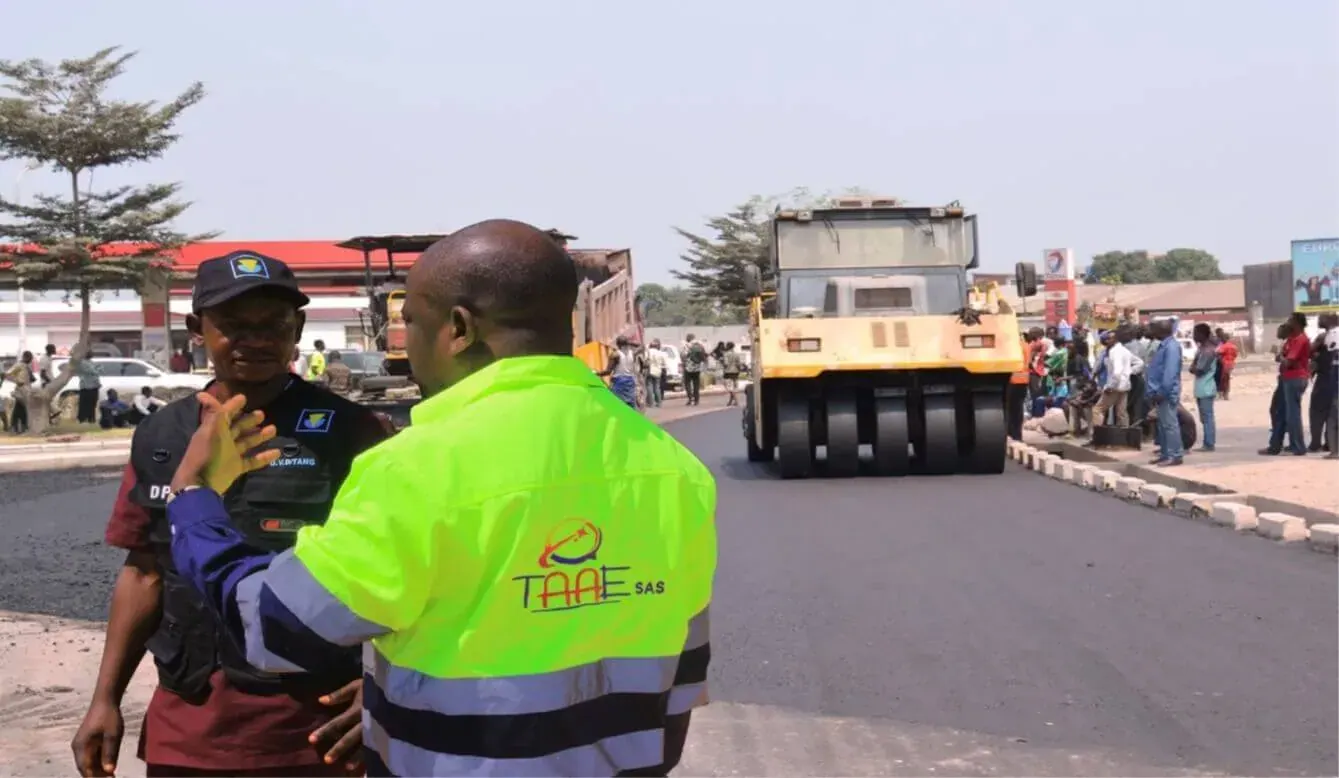
Technical studies2024
Urban Road Network of Kalemie
Kalemie, Tanganyika
Pre-feasibility and feasibility studies for the urban road network of Kalemie, combining field analysis and technical infrastructure assessment.
Visual collection and spatial reading of an operational site to support technical analysis and decision-making.
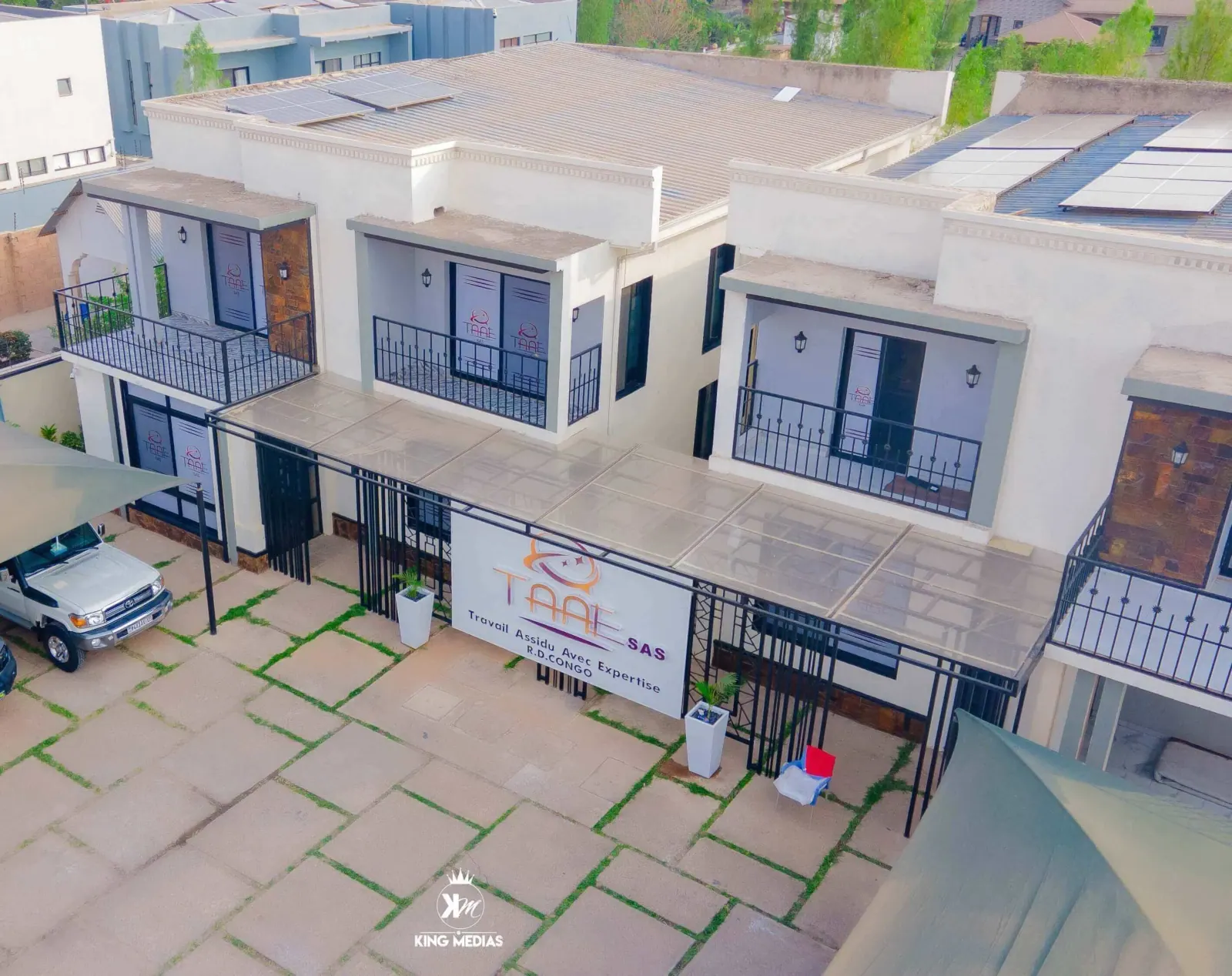
Drone mapping makes it easier to read a site, identify visible constraints and document elements required for project framing. TAAE SAS uses it as a decision-support tool for study missions.
Kalemie, Tanganyika
Pre-feasibility and feasibility studies for the urban road network of Kalemie, combining field analysis and technical infrastructure assessment.
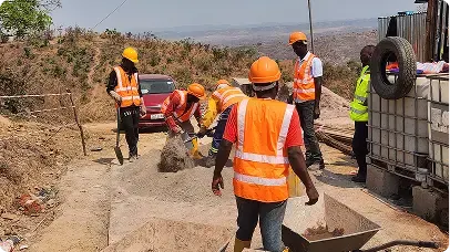
Fungurume, Lualaba
Construction project for a 200 m³ semi-industrial borehole in Fungurume, focused on capacity, service coverage and operational reliability.
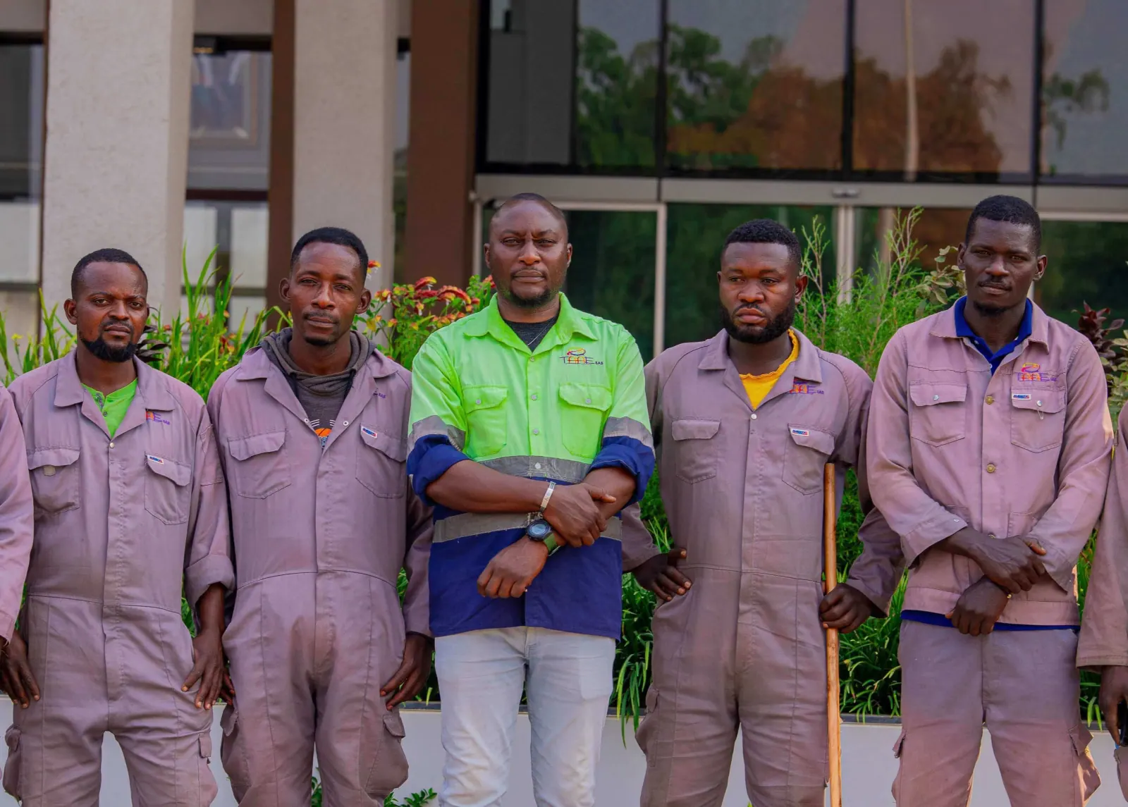
Lubumbashi, Haut-Katanga
Maintenance and upkeep works for the Haut-Katanga Provincial Assembly building, focused on the continuity of administrative spaces.
An idea, an operational need or a partnership to build: our team directs you to the right contact and replies quickly.